Our simple approach to navigating your walking route
Build your confidence with the five Ds method

Feel confident and stay on track with the five Ds of navigation
A simple approach to navigation
Whilst using a compass is a terrific way to navigate, it’s a complex skill that few of us have learnt. And whilst there are a multitude of apps and GPS systems that can help us navigate a walking route not everyone has access to technology. Plus, it’s not always reliable. Every year we train over a thousand people to lead Ramblers Group Walks and we try to keep things simple. For those who are new to navigating we recommend an approach called ‘the five Ds of navigation’.
What are the five Ds of navigation?
There are just five key words you need to remember and unsurprisingly they all start with the letter D:
- Distance
- Duration
- Direction
- Description
- Destination
Distance – How far is it
If we know how far it is to our destination, we can work out how long the walk will take us. There are lots of different maps scales. The big map producers like Ordnance Survey and Harveys make it easy for you – one box is 1km. Local maps may vary. Whatever your map it should have a scale to keep you on track.
Duration – How long will it take?
Once we know the distance, we can work out how long it will take to walk. The speed we walk at can vary depending on our health, the weather, and the terrain.
If you don’t know your speed, start by assuming 4km an hour on flat ground. As you gain more experience you can adjust your calculation if you find you are faster or slower. At 4km an hour, a 1km walk will take you around 15 minutes.
Direction – Which direction do you need to head off in?
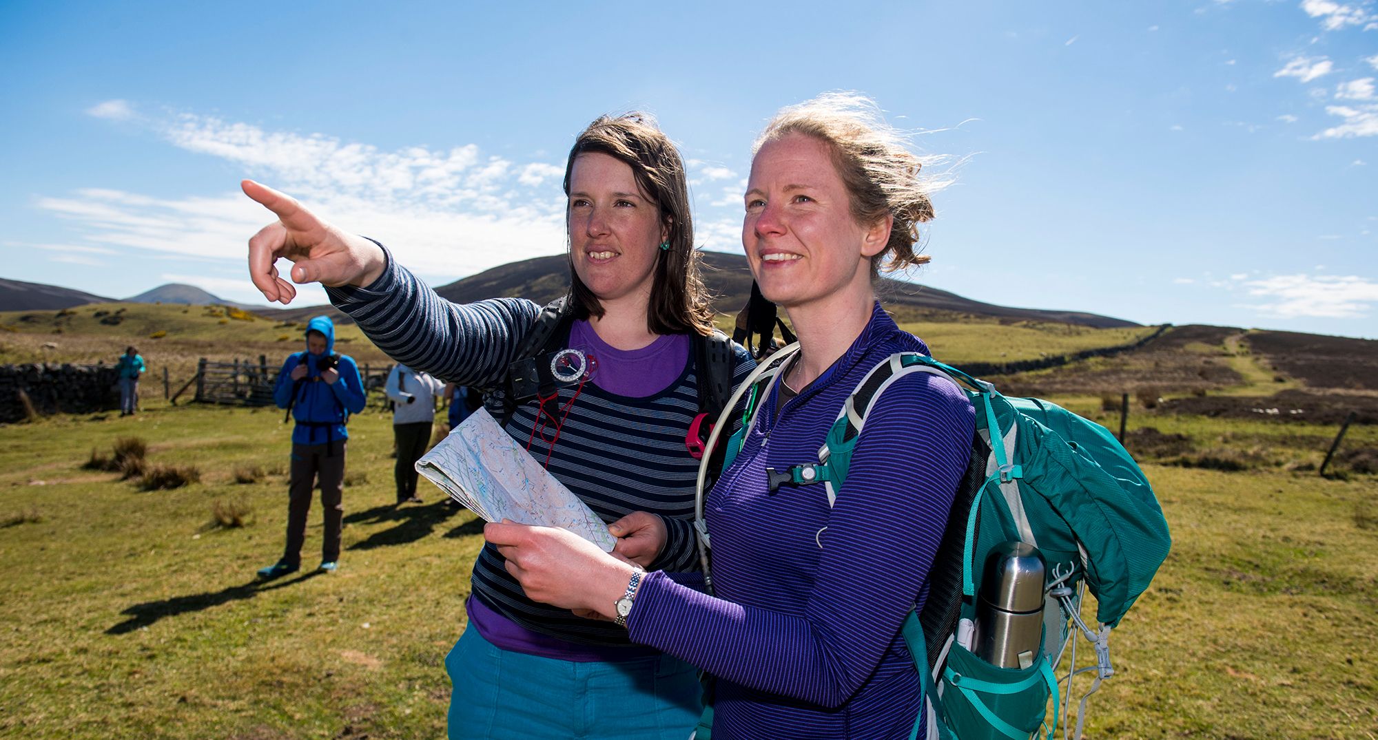
Setting off in the right direction is your most important first step. Experienced navigators will follow a bearing on a compass, but you can take an easier approach. Simply line up north on the map with north on the ground by matching what you see around you with what is described on the map. As you walk, keep checking your map to make sure your surroundings match what you see on the map. That way you will know you are still heading in the right direction.
Description – What will you see
Check your map and note what you expect to see on your route. Create a story in your head - for example, go over a crossroads after 500m, then take a sharp turn in the path and look out for a wood on the right-hand side of the path in 15 minutes (1km). We call these ‘tick-off features’ because you can mentally tick them off as you pass and make sure you are still on the right route.
Destination – What will you see when you get there?
Make sure to note what your destination looks like. It may be a picnic spot at the top of a hill, a pub by the river or the edge of a forest with an amazing view. It’s also worth noting what you will see if you go too far. We call those ‘catch features’ because it will catch us if we go too far.
Putting it into practice
If you’re new to navigating, why not test out the five Ds approach somewhere close to home, where you’re unlikely to get lost. If you’re walking a short route, you can apply the five Ds to the whole route. On a longer walk, break it into several legs and apply the five Ds to each leg. You won’t always need to use all the 5Ds at once, but it’s good to have them in your toolkit to keep you on the right track.
As you gain more experience, you can start exploring further afield. Walk with a friend and make sure your mobile phone is well charged and you’ll soon have the confidence to stride out on less well-trodden routes.

A beginners guide to using a compass
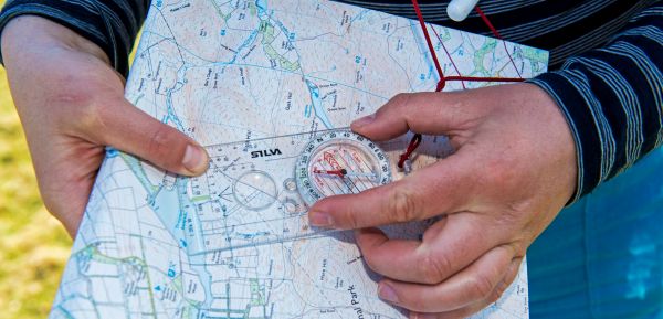
When it comes to walking in the countryside, a compass is the most accurate way of following a map. So here’s our beginner’s guide to using a compass.

Where you can walk in England and Wales
Helping you understand your rights, where you’re allowed to walk, and how to find new places to explore.

What is GPS and do I need it?
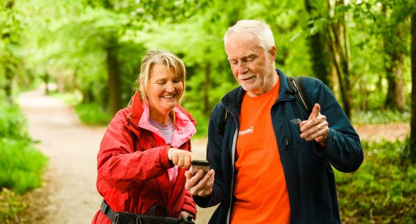
Technology can help us navigate when out walking. GPS systems and apps can be helpful so long as we know how to use them and understand their limitations.