This is a grade B, 8.5 mile walk with 1400ft ascent to Brown Carrick Hill. We will walk on a variety of surfaces including tarmac, cobble beach and open countryside.
We start walking from The Kennedy Car Park, Dunure where there is no parking charge. We immediately pass the impressive ruins of the medieval Dunure Castle and go around the harbour of this quaint fishing village. Then it is careful walking along the cobbled shore where we must cross Drumbane Burn at the foot of its waterfall. This was ankle depth on the day of our recce and for this, waterproof boots are recommended.
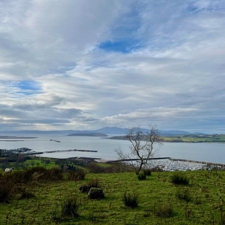
Timing our walk to avoid the high tide, we walk the shore and follow a series of markers leading us up steep 'stairs' at Fisherton Gully, through disused railway lines, grazed pasture (i.e. with sheep and cattle) to Fisherton Bay and the Heads of Ayr Caravan Park. There are views over the water to Ailsa Craig, Arran and Ireland!
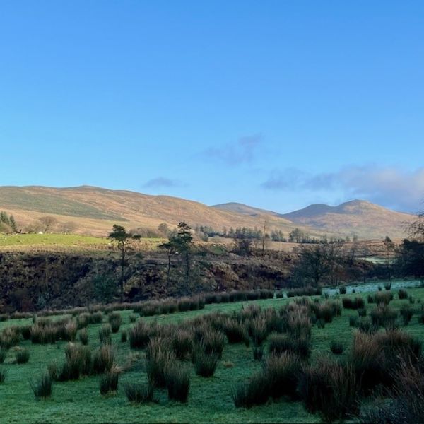
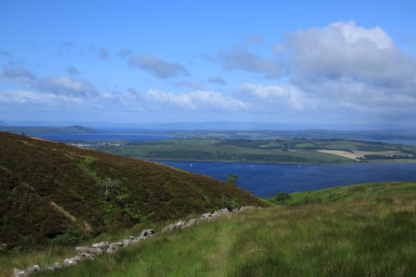
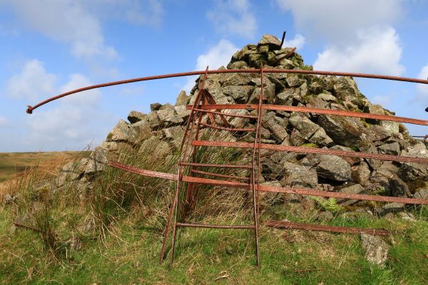
Heading away from the shore, we walk a paved path to a 100 meter section of the fast A719 where we will walk single file on the verge. We start our ascent of Brown Carrick straight up from the road, walking at the side of ploughed fields and onto the open hillside. We reach the top just west of the police wireless station. We then traverse the ridge to the Trig point on Brown Carrick Hill. We walk open hillsides, clamber over several imperfect stiles and pick our way through the remnants of a felled timber plantation all of which require attention and nimble footwork. Depending on the weather, we can have lunch anywhere after the hill top. There’s a wee fishery to notice as we join the track and descend back towards the village of Fisherton. We see Carrick Castle in the distance and Dunduff Castle along the way. From Fisherton it is a half mile walk by road back to the car park at Dunure. There’s a couple of nice wee cafes and pubs in Dunure for those with a thirst at the end.


