
Go walking
Britain is bursting with beautiful, inspiring places to walk. From stunning coastlines, fascinating cities, and magical woodlands to canals rich in wildlife and wild open moorland. So let's get exploring!
Heading out for your first walk with the Ramblers? Find out how we grade our walks so you can find the right one for you.
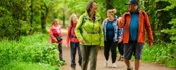
Wellbeing Walks
Our Wellbeing Walks make getting active easier, for everyone, ensuring fun along the way.
Find a route
Plan your next walk with our library of tried-and-tested routes, with over 4,000 walks to choose from.

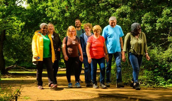
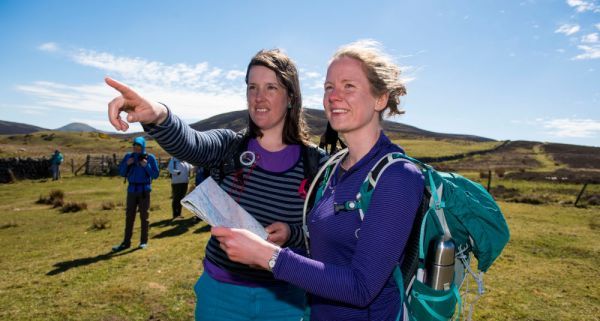
Find a walking group
With over 500 Ramblers groups and 50,000 group walks, there is bound to be at least one close to you.
Find a Ramblers group walk
There are up to 50,000 Ramblers group walks every year, all guided by a walk leader. Enter a location or postcode in the search box to find nearby Ramblers group walks.
Walk our latest tried-and-tested routes
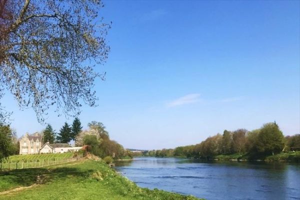
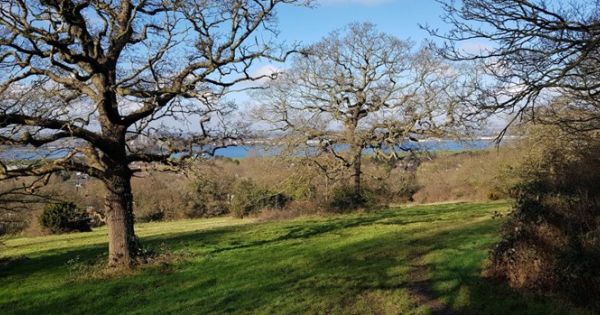
Loch Faskally, Pitlochry, Perthshire
Known as 'Big Tree Country', Perthshire is the perfect place to see glorious autumn colours. This ...
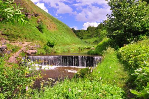
Broadbottom, Greater Manchester
Broadbottom hugs the deep gorge of the River Etherow at the fringe of the Dark Peak. This walk ...
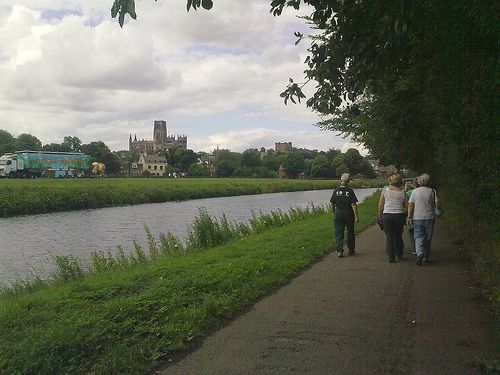
Central Durham and Old Durham
Walk to Old Durham along the River Wear, and climb the lane beyond for views of distant Durham ...
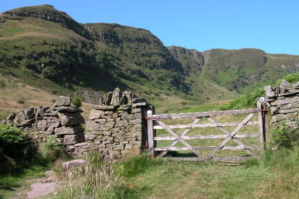
Hafod Estate, Ceredigion
This walk takes you on a short hike around the Hafod Estate. You’ll stroll over rolling Welsh ...
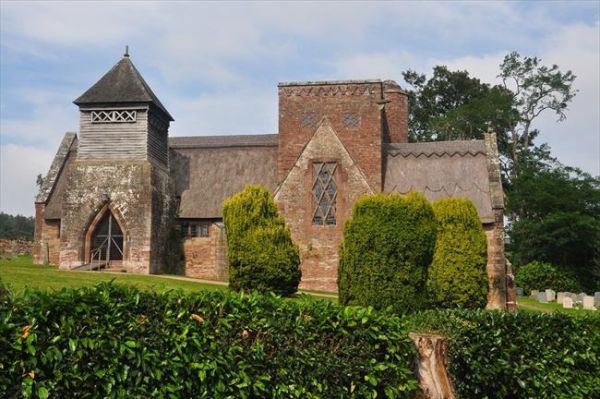
Brockhampton, Herefordshire
Visit a curious part-thatched church deep in Herefordshire countryside, then loop via an Iron Age ...
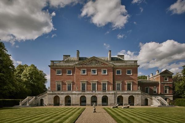
Wolterton, Norfolk
Wolterton Hall has been closed to the public for decades, but now you can visit during opening ...
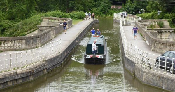
Bradford-on-Avon, Wiltshire
Setting out from historic Bradford-on-Avon, with its diminutive Saxon church, explore two ...
Epping Forest, Greater London
This walk gives a taster of the bracken-bronzed miles of medieval hunting forest that surround ...
And much more....

Inspiration
Find an abundance of inspiration and ideas about the best places to walk across England, Scotland and Wales.
Walking advice
Walking is a simple pleasure, open to everyone. Find all the advice you need to get outdoors on foot.

Walk Leadership
Here at the Ramblers, we want you to be passionate about walking and reap all the benefits it brings.

Walking gear
Find buying guides on walking shoes, trousers, jackets and more.
_4.jpg?itok=YEPmJKFA)
Access Denied
Access to nature is a right. Governments must act now to open up paths and expand the path network to serve every community.
![]()