Area Sunday Strenuous Walk.
Distances are over 10 miles.
Please note, due to train cancellations we will catch the earlier train leaving Piccadilly at 08.50.
Please also note that there is major disruption to the tram services on this date. Further information can be found at www.tfgm.com
Circular walk. No booking required.
Leader - Imelda Carr (07763 984664)
Sunday, 23 March 2025
Meeting time:
08:40
Start time:
08:50 at Piccadilly, 09:21 at Disley.
Estimated finish time:
16:00
Difficulty:
Strenuous
Distance:
13 miles.
Ascent:
2400 ft
The walk is due to start at Disley station after the arrival of the 08:50 from Manchester Piccadilly due at 09:21.
Note: walkers are advised to check one of the rail websites such as nationalrail or trainline close to the departure time in case of late changes to the running of the train.
Train ticket - return to Disley (those with a GM concessionary pass can buy this for Middlewood to Disley).
Car parking available at Disley station but please note that some charges have now been introduced.
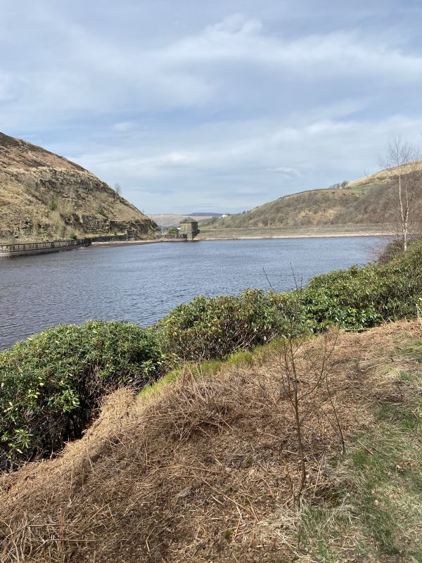
Walk route - Bollinhurst Reservoir, Black Hill, Cornfield Farm, Sponds Hill, Harrop Wood, Bakestonedale Moor, Bow Stones, Green Lane
Expected time into back into Disley - it is possible that we will be back in Disley in time to catch the 15:23 back to Manchester but this isn't certain. Because of cancellations the next train from Disley to Manchester is at 17:23. The 199 bus from Disley runs to Stockport, due at 15:47 & 16:47.
Walking boots and clothing (including waterproofs if wet weather is possible) are essential. Lunch and non-alcoholic drinks should be brought.
A walk of 3 ascents and 3 descents, so an undulating profile. Whilst not reaching any great heights (410m/1300ft) is highest, the cumulative effect of going from riverside to hillside offers variety and viewpoints. It could be windy, it could be wet but it could be beautiful.