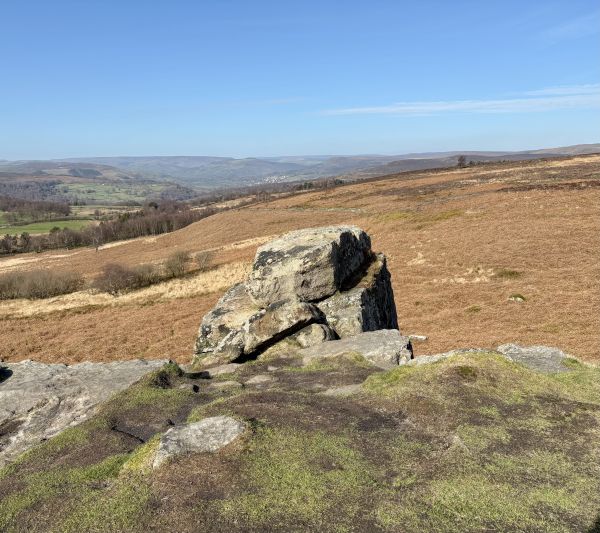
Area long walk. Distances are generally 9-10 miles unless specified.
Not a complicated route starting through Torkington Park, the Racecourse Estate and golf course to the Middlewood Way turning for High Lane station, Higher Poynton and the Prince's Incline down to Poynton for a meander towards Bramhall crossing the airport relief road on the way. Tarmac through a mixture of council tax bands, where you might marvel at surviving tasteful/naff Christmas decorations, to Carr Brook, Bramhall Hall and, depending on daylight and weather, a muddy trail to the Seven Arches viaduct and a better path to the station.
If it's a walk to burn off the pounds of over indulgence that you're looking for, then the easy 10 (ish) miles from Hazel grove to Cheadle Hulme isn't for you. Hardly crossing more than 3 "up contours" and no stiles this is a flat walk for those who have kept their boots clean for 3 weeks and need an easy restart. The hardest climb is the steps up to the station at Cheadle Hulme although a lift is available.
No booking required, although we do ask that everyone carries an ICE card - we can supply if needed.
The walks will invariably involve ascent and descent, some of which may be steep. They will usually, depending on the weather, be soft and/or muddy, sometimes with ill defined tracks across fields or moorland - ensure you have appropriate footwear. Please consider your personal fitness and ability before attending the walk - if you're not sure, feel free to contact us for advice on the potential conditions, whilst the leader will base the walk on their own ability and may issue instructions where appropriate, you are ultimately responsible for your own safety. Please wear appropriate clothing for the prevailing weather, plan for the worst and hope for the best, bring any essentials and lunch.