Join the Ramblers and enjoy
- unlimited free access to 50,000 Ramblers group walks
- a library jam-packed with thousands of tried-and-tested routes
- a welcome pack teeming with top tips plus our Walk magazine
- exclusive discounts from our partners
- knowing your support is opening up more places to walk and helping more people discover the joy of walking
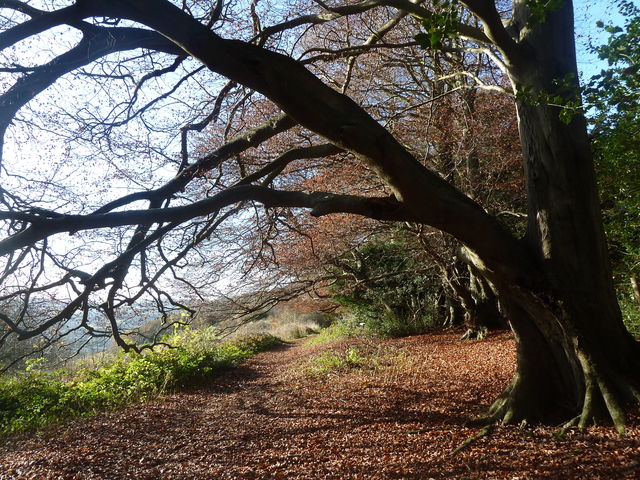


![[5] -[6] view from path along Old Watling Street](https://www.ramblersroutes.org/uploads/4219/3346851b-077a-43d3-9a55-d65f1e5301ef.jpg)