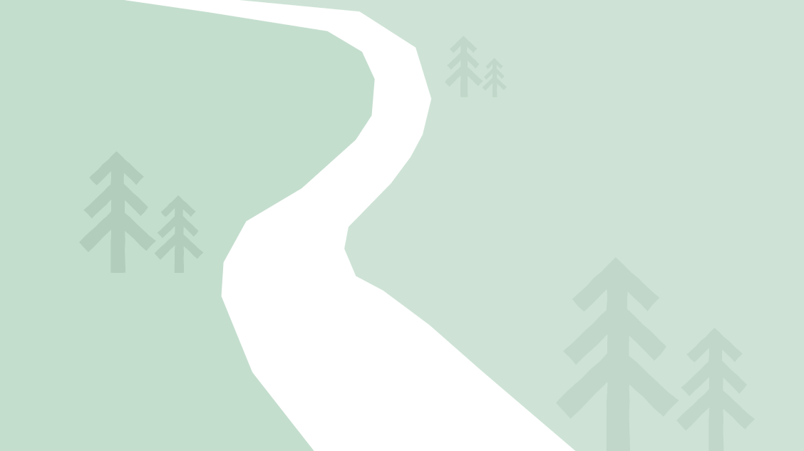
This is an approximately 10 mile/4 hour walk starting at Mugdock Park visitor centre. We exit the car park and cross the road into moorland and follow the electricity pylons down to a track, which will lead us to the Red Brae. At the bottom of the Red Brae, we join the West Highland Way at the Carbeth Huts and follow the West Highland Way for approximately 3 miles. We will stop opposite Craigallian Loch for a coffee break. Before reaching Milngavie, we turn uphill for 15-20 mins to reach the Drumclog car park and cross the road to access the path that goes round the Milngavie Reservoirs. The first reservoir is Mugdock Reservoir and we turn right to walk beside this reservoir and continue on to the second reservoir (Craigmaddie Reservoir) where there are benches for our lunch stop. We will follow the path round Craigmaddie and Mugdock reservoirs until we reach Mugdock Road and follow a narrow footpath beside this busy road for a few minutes before entering woods at the edge of Mugdock Country Park. We will pass South Lodge car park and carry on to the ruins of Mugdock Castle and from there make our way back to the visitor centre. Poles will be useful for the moorland start, Red Brae descent and uphill part to Drumclog car park.
Walk leaders Rona and Jim Gilmour (jgilmour479@gmail.com or 077 852 340 70)
Meet at East Ayrshire Council car park at 8.45 am for a 9 am. Please let the walk leaders know if you are going directly to Mugdock Country Park. We plan to start the walk at 10.20 am.
Take the A77/M77 towards Glasgow and there are two alternative routes. Our normal route is to carry on into Glasgow and merge onto M8, go over Kingston Bridge, then take A82 exit to Dumbarton and then fork left (A81 Aberfoyle). This route will take you to Allander Toll, then on to Mugdock Country Park. Total mileage there and back is 64 miles and one way journey time is about 1 hour. The alternative route is to leave M77 by following signs for the Clyde Tunnel and once through the tunnel up to Anniesland Cross and up the Switchback Road to Canniesburn Toll. Follow signs for Mugdock Park. If SatNav tries to take you through Bearsden, this may not be agood idea, because this route to the visitor centre ends with a section of single-track road. The alternative route via the Clyde Tunnel is similar mileage to our normal route, but possibly a few minutes longer. On reaching Mugdock Park, ignore other car parks and carry on to the main car park next to the visitor centre, there is also an adjacent large overflow car park, which is well surfaced. Meet in the courtyard of the visitor centre centre, where refreshments and toilets are available.